Map Corrections 2023
For the event we have map corrections and out of bounds areas that you will need to mark up on your map before the start of each day.
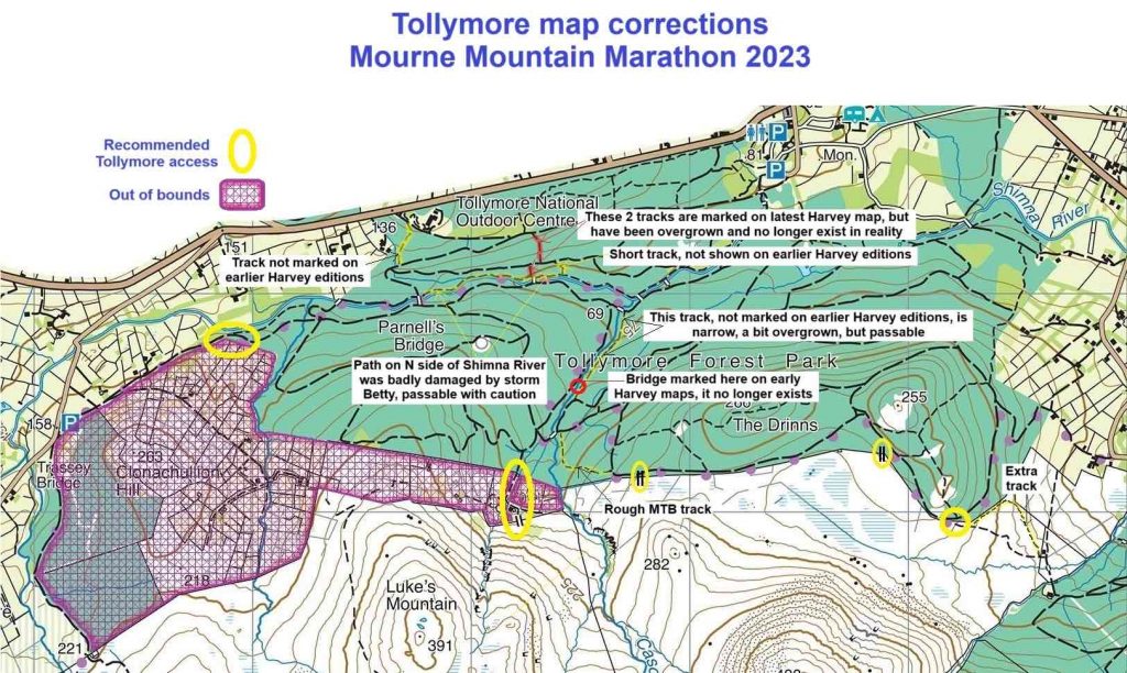
All courses are designed to avoid farmland and fields must not be crossed. Roads are out-of-bounds and must not be crossed except where specified. A specific out-of bounds area near Tollymore Forest (purple hash) is shown on the map below along with 5 recommended access points (yellow ovals) plus some notable map corrections.
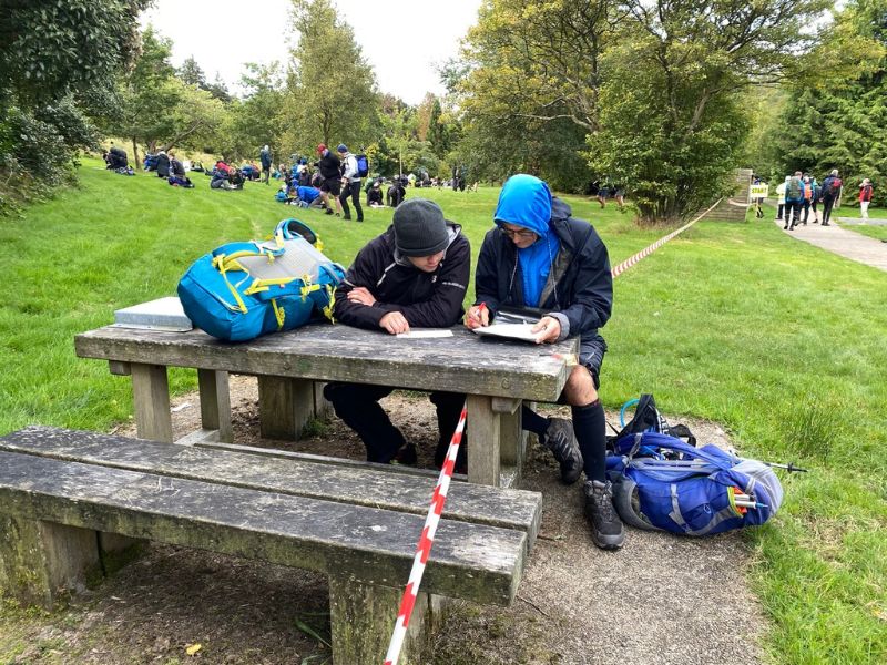
Please mark these on your maps before Saturday morning so as to minimise queuing at Registration. There are additional OOB areas near the overnight campsite which will be posted at the Event Centre on Saturday morning and at the camp site.
Also, please download, print and complete the Registration Form and bring it on Saturday morning. We will have spare copies but it will save you time if you come prepared.
Harveys Map
This year’s courses have been planned on the 1:25000 Mourne Mountains map from the Harvey Superwalker XT25 series. Some recent or obvious features may not be marked on the map – eg: a new or temporary stile, a large boulder under a crag, etc. There will be additional descriptive text on the Route Cards to help identify such features where required.
Use of the OSNI map is not recommended for this event. The 6 figure grid references are in Irish Grid section J and describe a 100m square. N.B. Some controls may be at the far edge of this square – see lesson on grid references in the FAQ section.
Reminder About The Rules
By registering on Saturday morning, you will be deemed to have understood and agree to abide by the rules and safety requirements of the event. Anyone found to have knowingly breached these rules or who fails to comply with reasonable instructions from even officials will be disqualified from the event and may be barred from future events. There will be no refund of entry fee for disqualification.